
»
Reference list
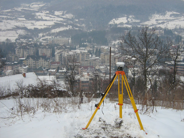
Realisation of the project systematic updating of realestate cadastral of Travnik municipality. BNpro doo Sarajevo performed the renewal of permanent geodetic points network. This project includes:
- revision of existing trigonometric network in project domain
- finding the underground centres of trigonometric points and their renewal
- linking to the leveling network in order to determine new heights
- determination of excentrity elements, whether it is about high unreachable points, or the ones approachable, for the needs of better GPS signal receiving
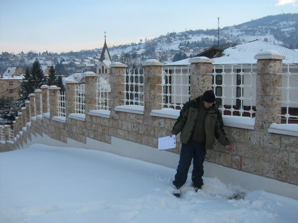
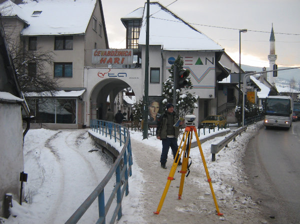
- terrain recognition
- benchmarks procurement
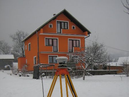
- transport and stabilization of the points on the field
- making position description according to propositions in Terms of References
- first phase GPS observation including 3 reference points from previuos GPS campains (T40 Čubren, T258 Vlašić, T262 Trtkovac, T370 Dekale, T371 Raduša) with observation in two series with previously presented observtion plan
- GPS observations second phase including control points from previous phase. All found trigonometric points from 1990 network were included
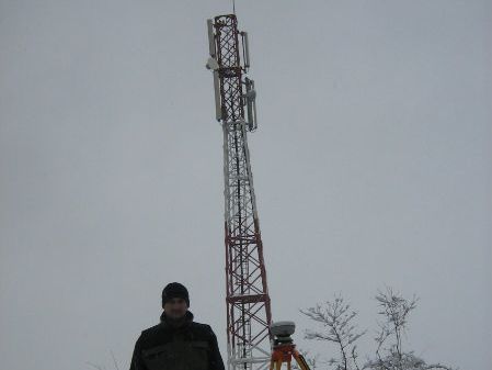
- Outer directions observation for high points determination
- Processing of measured data for the needs of points coordinates and elevation determination in State Coordinate System
- Processing of measured data of GPS city network using appropriate software according to vector length and requested accuracy in project propositions
- calculation of high points coordinate by the "front sections" method
- making position description
- Making database of GPS network points
- Works of technical levelling with data processing and technial report devlopment
- revision of existing trigonometric network in project domain
- finding the underground centres of trigonometric points and their renewal
- linking to the leveling network in order to determine new heights
- determination of excentrity elements, whether it is about high unreachable points, or the ones approachable, for the needs of better GPS signal receiving
- terrain recognition
- benchmarks procurement
- transport and stabilization of the points on the field
- making position description according to propositions in Terms of References
- first phase GPS observation including 3 reference points from previuos GPS campains (T40 Čubren, T258 Vlašić, T262 Trtkovac, T370 Dekale, T371 Raduša) with observation in two series with previously presented observtion plan
- GPS observations second phase including control points from previous phase. All found trigonometric points from 1990 network were included
- Outer directions observation for high points determination
- Processing of measured data for the needs of points coordinates and elevation determination in State Coordinate System
- Processing of measured data of GPS city network using appropriate software according to vector length and requested accuracy in project propositions
- calculation of high points coordinate by the "front sections" method
- making position description
- Making database of GPS network points
- Works of technical levelling with data processing and technial report devlopment