Cartography
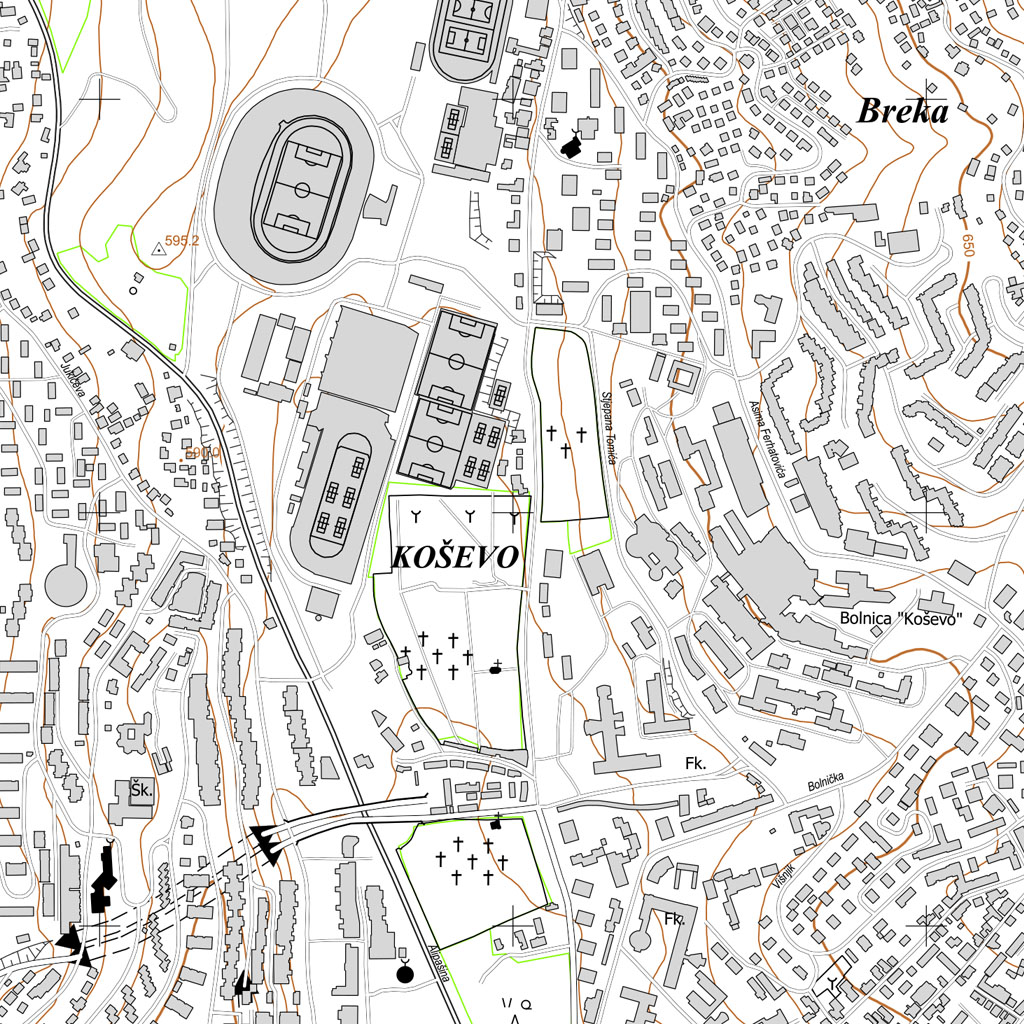
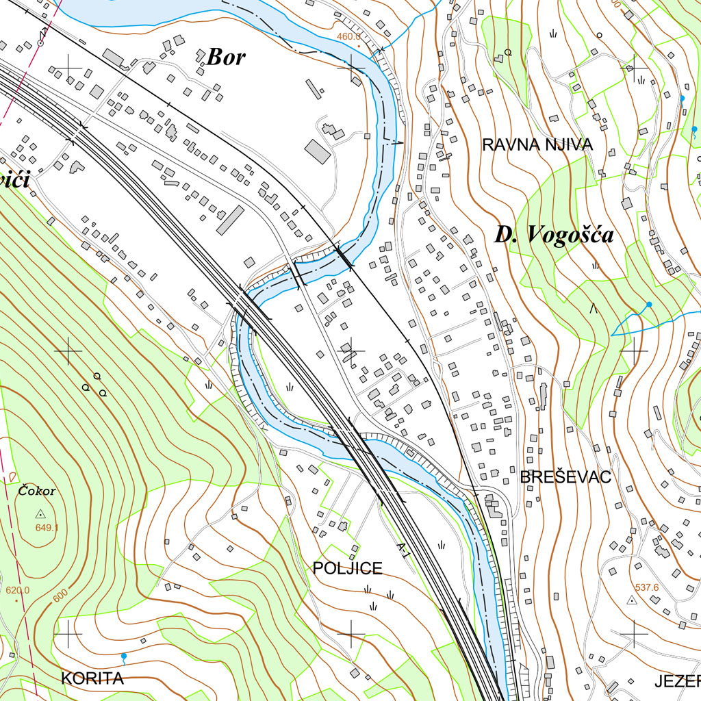
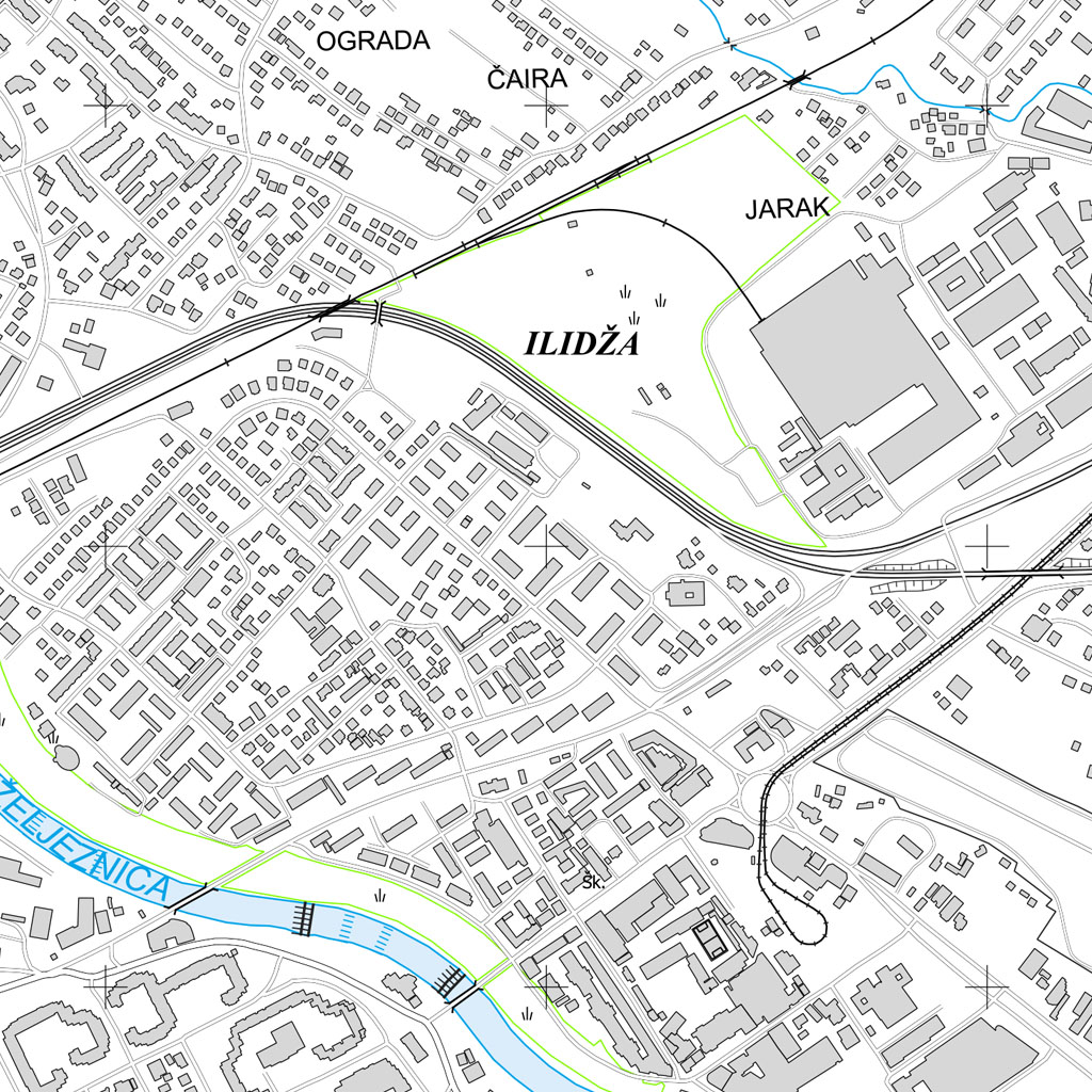
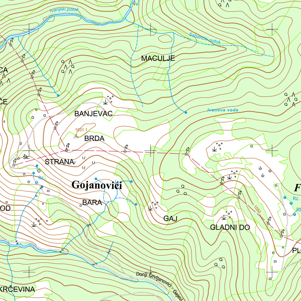
Topographic maps represent an extremely detailed cartographic representation of a certain area, enriched with various information about its local characteristics. These maps provide a comprehensive view of the geographical, topographical and other relevant aspects of the focus area.
On a topographic map, the characteristics of a certain area are thoroughly documented, including settlements, roads, water resources, vegetation, landforms and territorial boundaries. Through precise cartographic presentation, users get valuable information about spatial characteristics, which facilitates orientation, planning or research of a certain area.
Whether it's terrain, waters, vegetation, settlements, roads or territorial areas, each of these elements is represented with precision and care. These maps are derived from accurate and complete measurements of topographic objects, contributing to the reliability and quality of the information they provide.
Due to their high accuracy and variety of information, topographic maps are an indispensable tool in various fields, including geography, urban planning, natural resource exploration, tourism, and military operations. Regardless of the purpose of use, these maps provide users with a detailed insight into the structure and characteristics of different geographical areas.
Topographic map databases represent a key infrastructure that enables proper storage, organization and access to extensive geographic data. These databases most often use GIS (Geographic Information System) technologies to integrate different information from topographic maps. Data such as heights, location of settlements, traffic routes or natural elements are stored systematically, facilitating quick and efficient access to users.
Topographic map databases often include search and filtering tools, allowing users to selectively access information according to specific needs. Integration with GPS systems further enriches the functionality, providing precise location data.
These databases play a key role in maintaining and updating information, ensuring that topographic maps are always accurate and reliable. The comprehensiveness of bases contributes to their importance in various sectors, such as urban planning, research, disaster management and military operations.
Overall, topographic map databases constitute the fundamental infrastructure for the proper use and interpretation of geographic data, improving various aspects of society and scientific research.