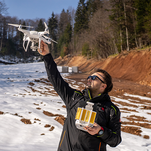
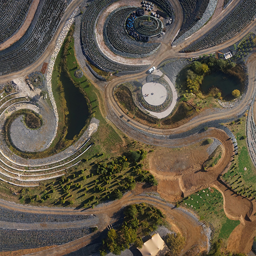
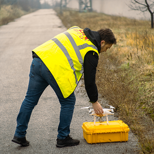
Aerial photogrammetry is a branch of geodesy and cartography that deals with the collection, analysis and interpretation of photographic data obtained from the air. This technique allows us to create detailed cartographic products and three-dimensional models of the earth's surface or objects. It is also often used to monitor and track changes in the field over time.
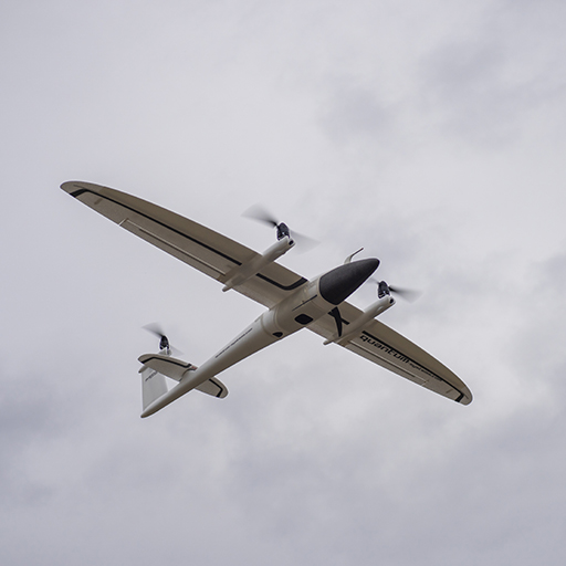
As an authorized representative of QUANTUM System, we use the QUANTUM System Trinity F90+ unmanned aerial vehicle, which is also called the unsurpassed drone for mapping, to create aerial photographs.