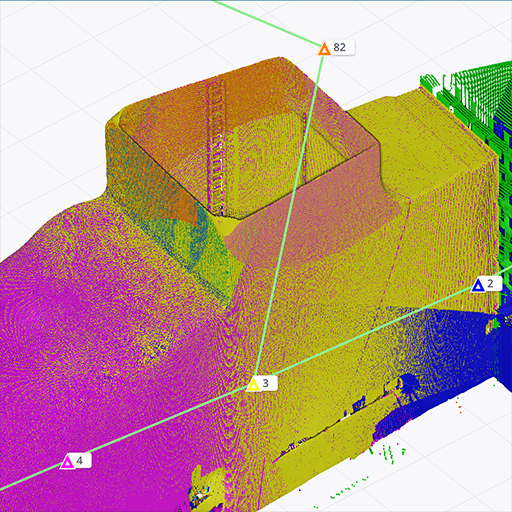
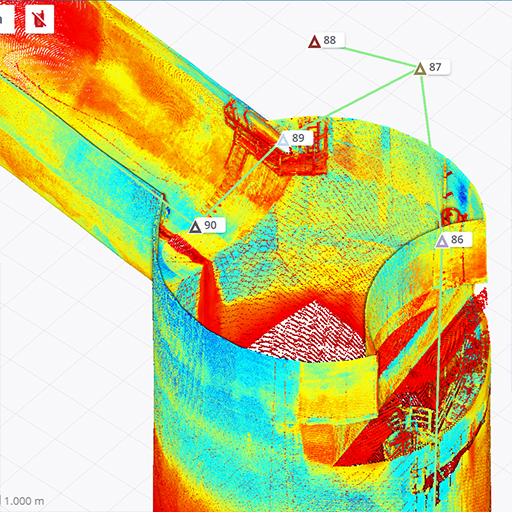
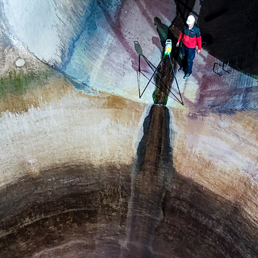
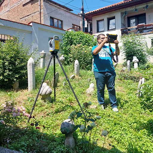
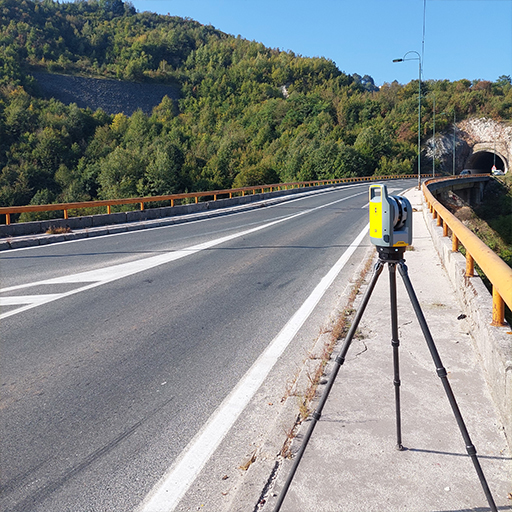
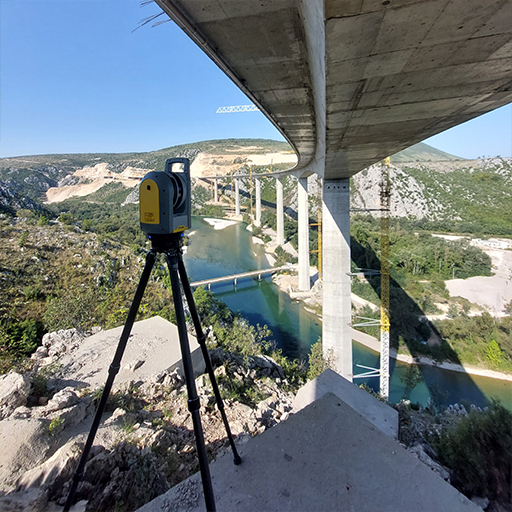
3D laser scanning is a technology used to collect three-dimensional information about surfaces and objects. This technique uses laser light beams that are emitted towards the object, and then the time intervals that these beams are reflected back to the scanner are measured. Based on this data, the system creates a three-dimensional model of the object or surface in the form of a very dense point representation (the so-called point cloud).
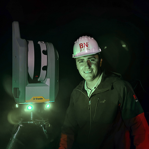
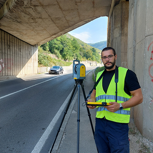
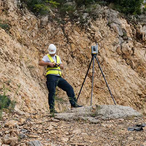
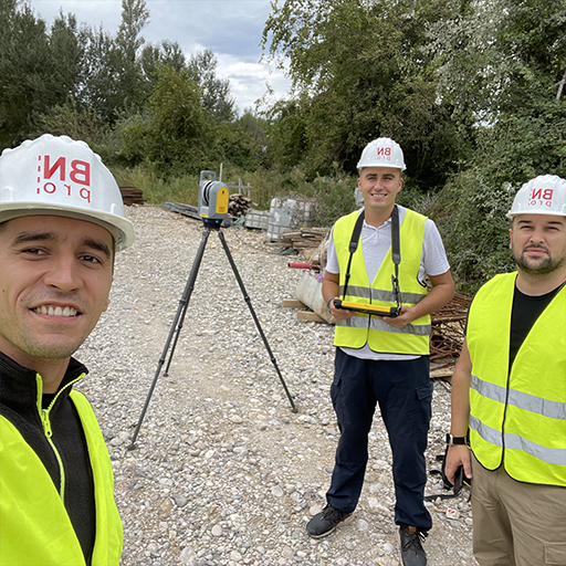
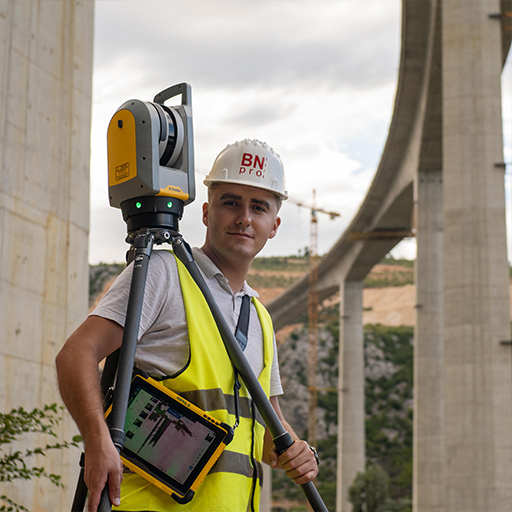
Our geodetic company offers the most modern 3D laser scanning service, which enables quick and accurate collection of spatial data. Using the most advanced laser technology from industry leader Trimble, we create detailed three-dimensional models of objects and terrain.
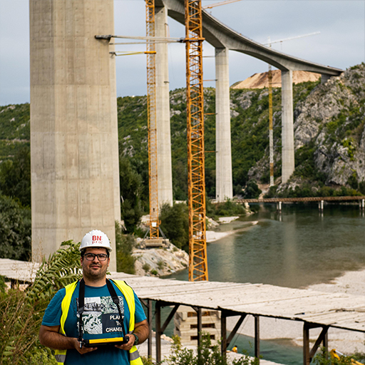
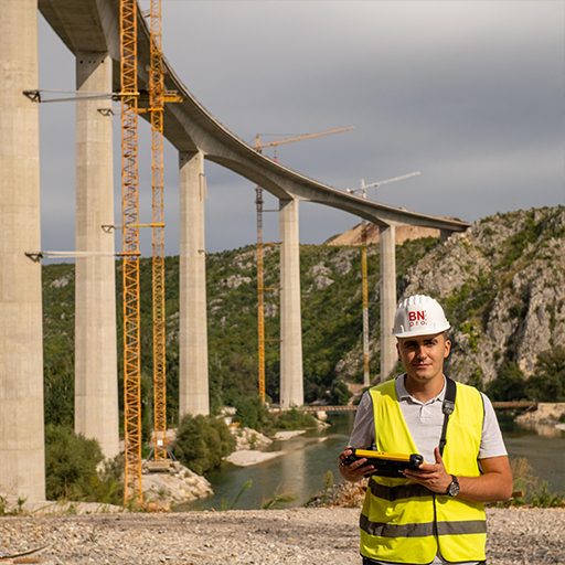
We worked on 3D laser scanning:
Počitelj bridge on Corridor Vc (one of the highest bridges in the region),
tunnel pipes of the Jablanica Hydropower Plant,
of the Korija bridge on the M5 road,
historical and religious objects, such as the Ulomjenica Mosque, etc.