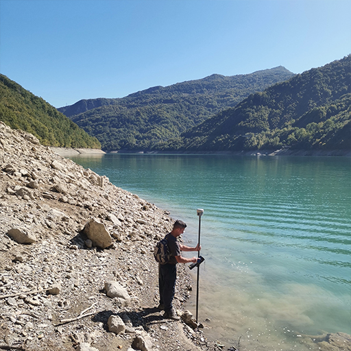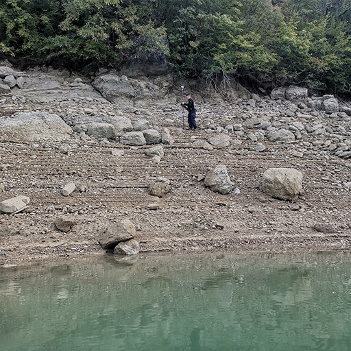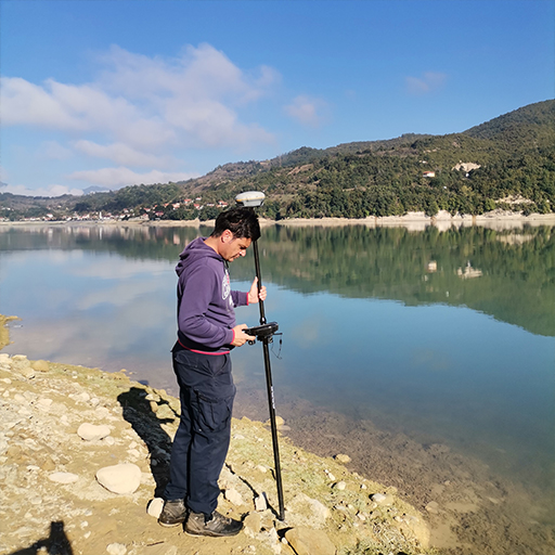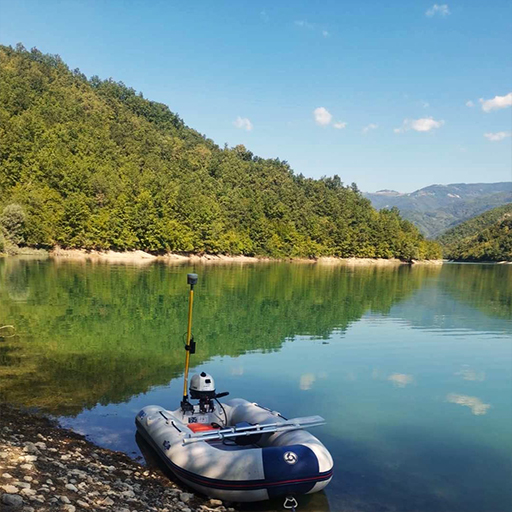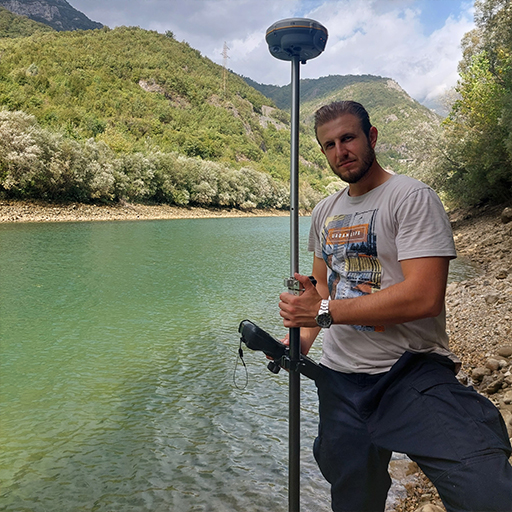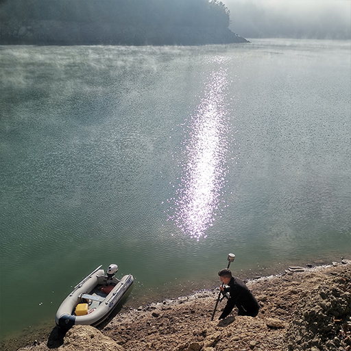
Geodetic-hydrographic measurements
Geodetic-hydrographic measurements include recording the bottom and shores of seas, rivers and lakes. The result of geodetic-hydrographic measurements are geodetic plans and maps that can be used in various fields, such as: navigation and seafaring, water resources management, monitoring the amount of embankments in reservoir lakes, ecological monitoring of water areas, implementation of various engineering projects, etc.
BNpro worked on the following projects:
- Geodetic-hydrographic surveying of the bottom and shores of the Modrac reservoir with measurement data processing
- Preparation of studies for sediment measurement and energy profiles in the plants of the Jablanica Hydroelectric Power Plant
- Development of studies for sediment measurement and energy profiles in Grabovica Hydroelectric Power Plants
- Development of studies for sediment measurement and energy profiles in Salakovac Hydroelectric Power Plants
- Geodetic surveying for the purposes of arranging the river bed of Bosnia.