Establishment of a geodetic network
Geodetic network represents the basis of all geodetic projects. Considering its great importance, special attention must be paid to its design and definition. The establishment of a geodetic network implies the following steps:
- designing the geodetic network (determining the approximate positions of the points of the geodetic network on topographic bases),
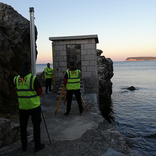
- terrain reconnaissance (determining the final positions of geodetic grid points on the ground),
- stabilization of geodetic grid points with permanent markers,
- creation of positional descriptions of geodetic network points,
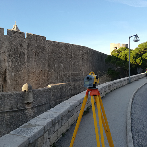
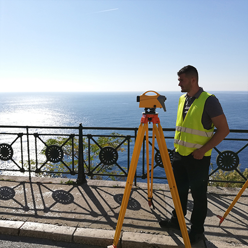
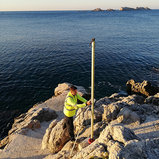
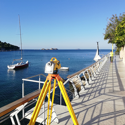
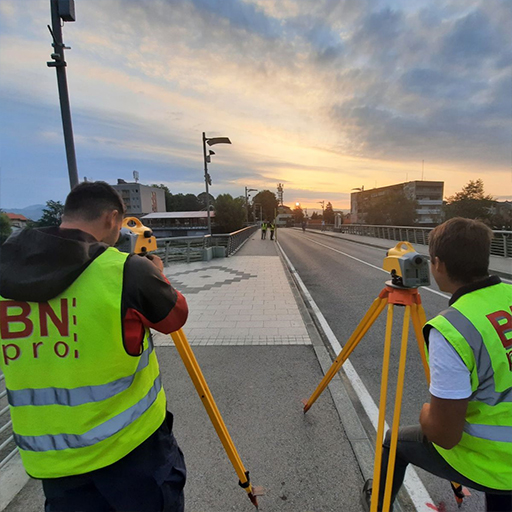
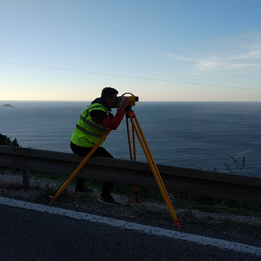
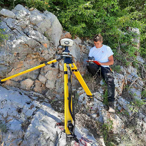
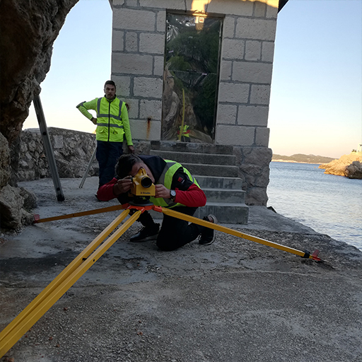
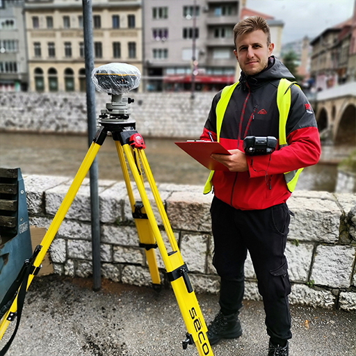
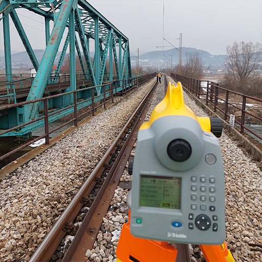
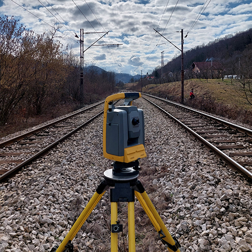
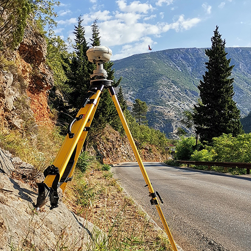
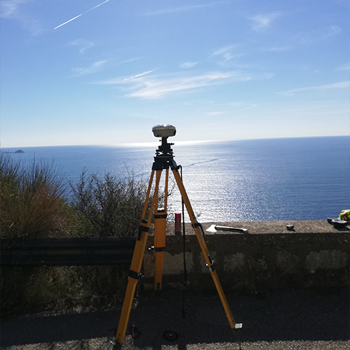
- measurements within the geodetic network,
- processing of measurement data and leveling of the geodetic network (determining the coordinates of the geodetic network as the final product)
BNpro has many years of experience in the establishment of all types of geodetic networks:
- Trigonometric grid,
- polygon mesh,
- leveling grid,
- GNSS network
- Geodetic networks for special purposes.
Projects we worked on:
- Restoration of the geodetic network of permanent geodetic points K.O. Travnik,
- Renewal of the geodetic network of the municipality of Sapna,
- Determining the parameters of coordinate transformation from the ETRS89 coordinate system to the national coordinate system,
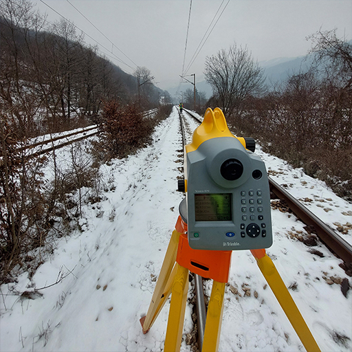
- Establishment of GNSS and polygon networks for the needs of geodetic surveying and reconstruction of the Sarajevo-Maglaj railway line,
- Basic geodetic works – Leveling of high accuracy III of Bosnia and Herzegovina